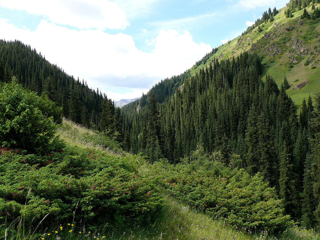
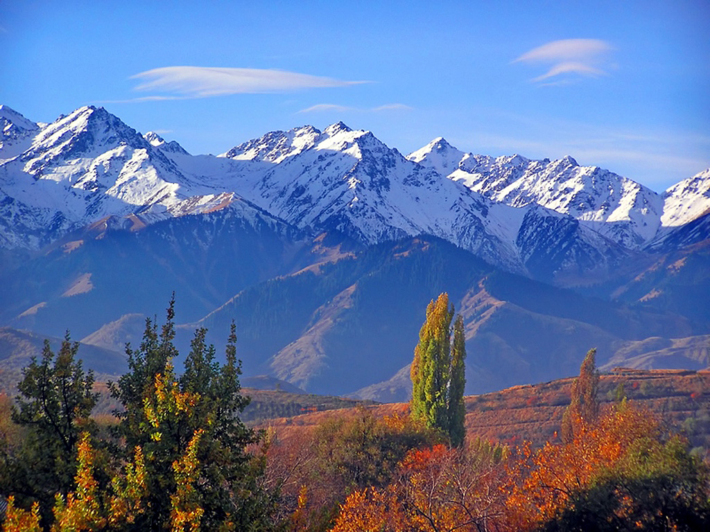
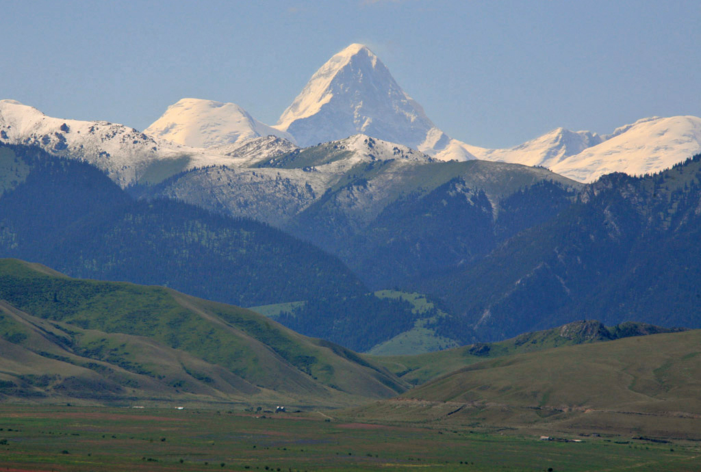
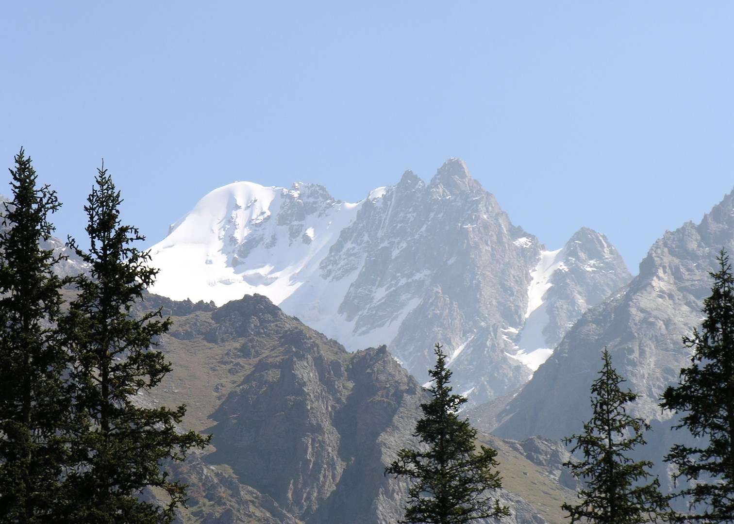
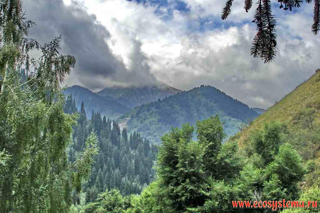
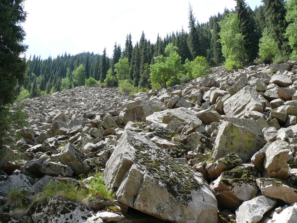
The natural object of nomination is located on the northern macrohillside of the ridge Trans-Ili Ala-Tau, which is the part of Northern Tyan Shan physical geographic province (Gvozdetskiy, Nikolaev, 1971). Relief. The ridge of Trans-Ili Ala-Tau is complex and by its topology relates to the northern spur of Tyan Shan. The territory is peculiar of vertical zonality or belt character of relief, that specified a wide variety of landscapes. The high-mountainous (upper) nival glacial chord encompassing paraxial part of the ridge, occupies altitudes of 3000 m above sea level. This band is of "alpine" character, with sharp tops, steep stony declines. Northern and southern slopes of the ridge abound of incuts of glacier kars, semicircular circuses, with a diameter of several hundred meters. It is the main place of formation of glaciers. Their tongues are penetrating into spur valleys of the head rivers. The largest glaciers have length of up to 6 kms and area of up to 18 sq. kms. At the whole northern macroslope of Trans-Ili Ala-Tau there are more than 300 glaciers, total area of which more than 300 sq. kms. The glaciers are frequently surrounded with a border of massive clumpy moraines, which are tending down the valleys down to the altitude of 2 750 m. Below chord of modern glaciation stages of connate kars, of slope valleys are seen, as well as "lenses" of a permafrost (basin of the river Turgen). The erosive relief of middle part of mountains occupies absolute altitudes in a range of 1700 up to 3000 m. The gorges and narrow valleys with the depth up to 700 m. with steep slopes are most typical here: (up to 400). The relief of the given chord is notable for intensive by slope processes: talus, downfalls and stonefalls.
- Subscribe
-

-

-

-

Ile Alatau State National Park
- Continent: Asia
- Country: Kazakhstan
- City: Almaty
- Category: Wonders of nature
- Added by: Ibrohimov Barzu Mahmadiyor o'g'li
- Source: https://ru.wikipedia.org
- Date of adding: 2015-07-30 15:21:45
- 0
- 0
Description
Расположение на карте
Share


Comments