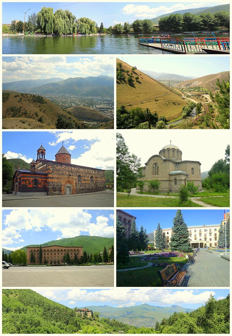
Vanadzor (Armenian: Վանաձոր), is the third-largest city in Armenia and the capital of the Lori Province in the northern part of the country. It is located around 128 kilometres (80 miles) north of the capital Yerevan. As of the 2011 census, the city had a population of 86,199, down from 148,876 reported at the 1979 official census. The city was known as Gharakilisa (Karakilisa) during the Russian rule. After the Sovietization of Armenia, the city was renamed Kirovakan (Armenian: Կիրովական) in 1935, after the Bolshevik leader Sergey Kirov. After the independence of Armenia, Kirovakan was renamed Vanadzor in 1992.
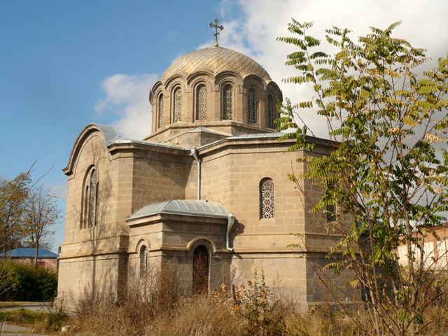
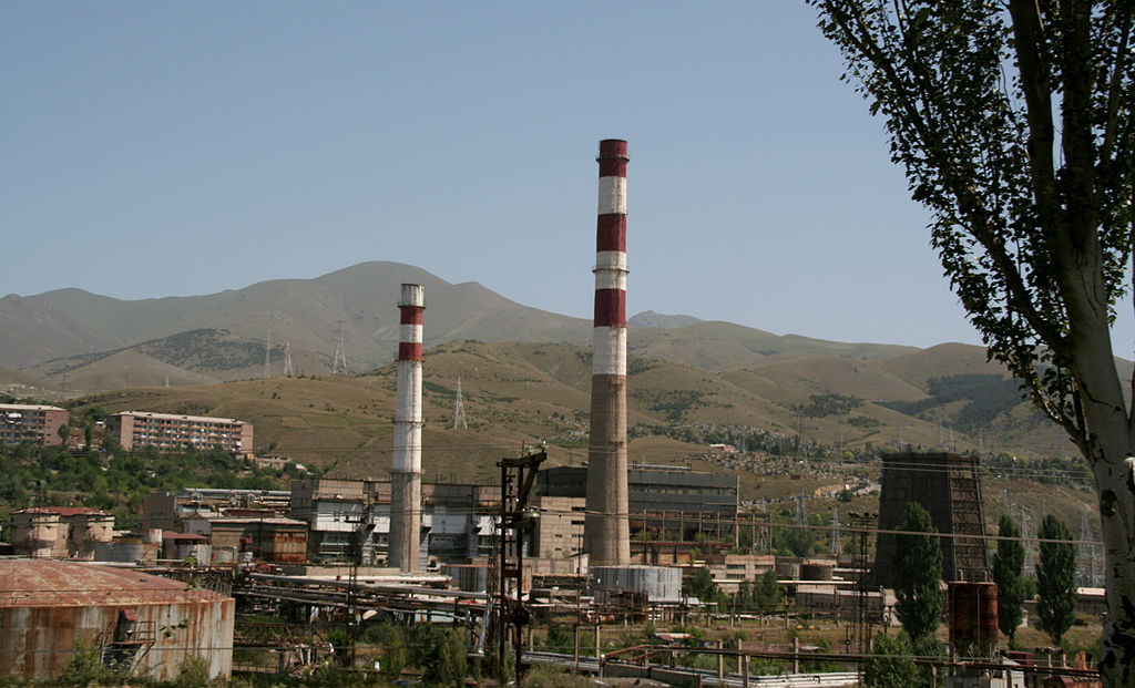
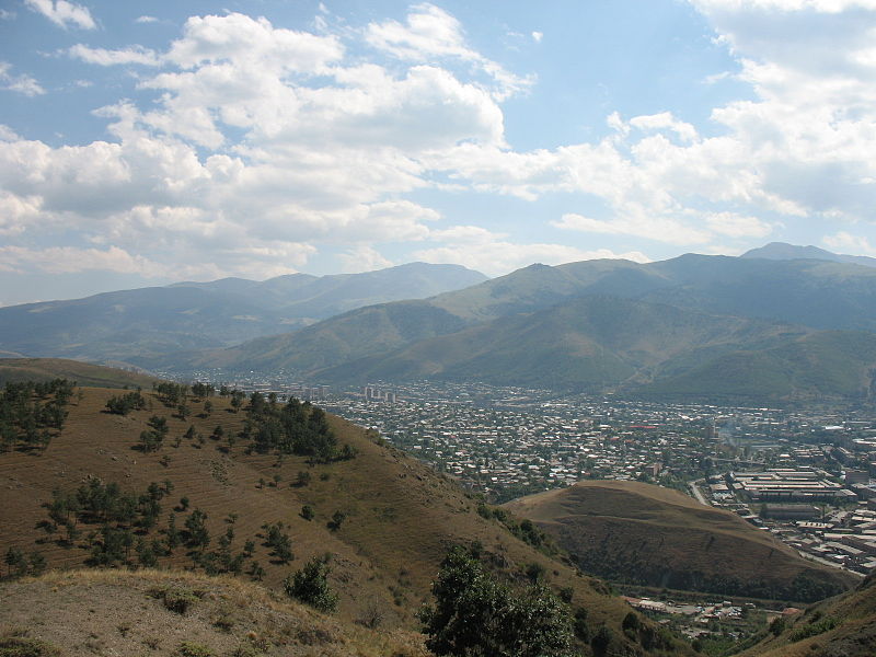
The city is in a picturesque setting, with an attractive planned town centre. Mostly crumbling Soviet-era chemical factories dominate much of the valley below the city. The area of present-day Vanadzor has been settled since the Bronze Age, based on the tombs and other historic remains found on the nearby hills of Tagavoranist and Mashtots. During the ancient Armenian kingdoms, the area was considered as part of the Tashir canton of Gugark; the 13th province of the Kingdom of Armenia (Armenia Mayor), until the end of the Artaxiad Dynasty's rule over Armenia in the 1st century AD. Later, the region was ruled by the other Armenian dynasties of the Arsacids and the Bagratunis. By the end of the 10th century, the area became part of the Kingdom of Lori (Kingdom of Tashir-Dzoraget) until the beginning of the 12th century. With the invasion of the Seljuk Turks, the region became under the rule of the Great Seljuk Empire. The settlement was called Gharakilisa (meaning the black church in Turkic) by the Seljuks possibly as early as the 13th century, from the black-stoned Armenian church of the Holy Mother of God, on the nearby hill.
In 1801, the entire region of Lori became part of the Russian Empire along with the Georgian state, a fact that made Lori one of the strategically important territories for the Russian defensive forces on the border against Persia. In 1826, the settlement of Gharakilisa was entirely destroyed by Hasan Khan during the Russo-Persian war. In 1828, the Russians founded a new town to become a major centre for the deployment of their troops during the Russo-Turkish War of 1828–29. According to Khachatur Abovian, the population of Gharakilisa was not more than 600 by the end of the 1820s, mainly migrants from Yerevan. In 1849, it became part of the Erivan Governorate within the Russian Empire. Under the new administrative status, Gharakilisa was flooded with many hundreds of migrating Armenian families from Kars, Ardahan and Western Armenian cities of Karin and Daroynk (Doğubeyazıt).
The town enjoyed considerable uplift through the opening of the railroad towards Tbilisi in 1899. The vicinity of the town had become site of the Battle of Karakilisa in May 1918, when General Tovmas Nazarbekian's outnumbered troops, led by Garegin Nzhdeh successfully defended the region from the invading Turkish Army, pushing them back just few days after the crucial Armenian victory in the Battle of Sardarapat, thus allowing the Republic of Armenia to come into existence. On the North side of the Spitak-Vanadzor highway, about 2 km (1 mi) West of the city, there is a little shrine in the ruins of a church, site of a planned monument to that battle.