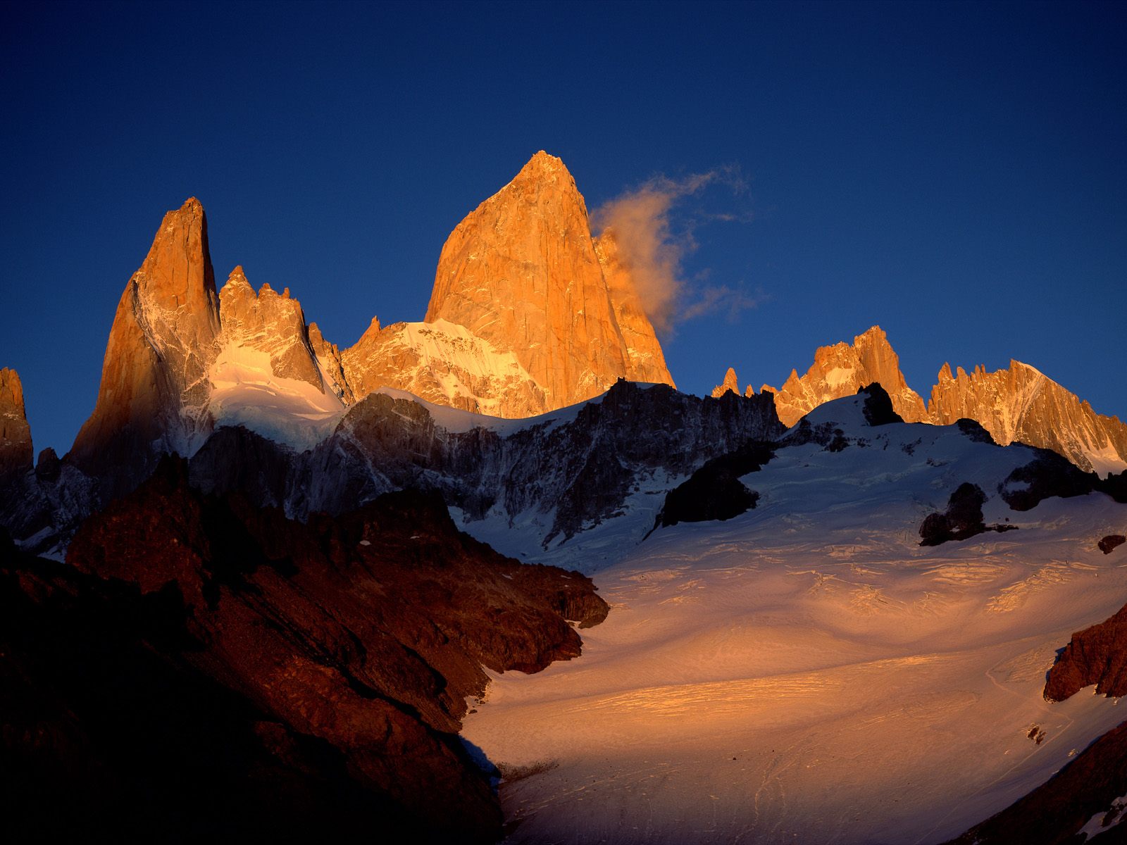
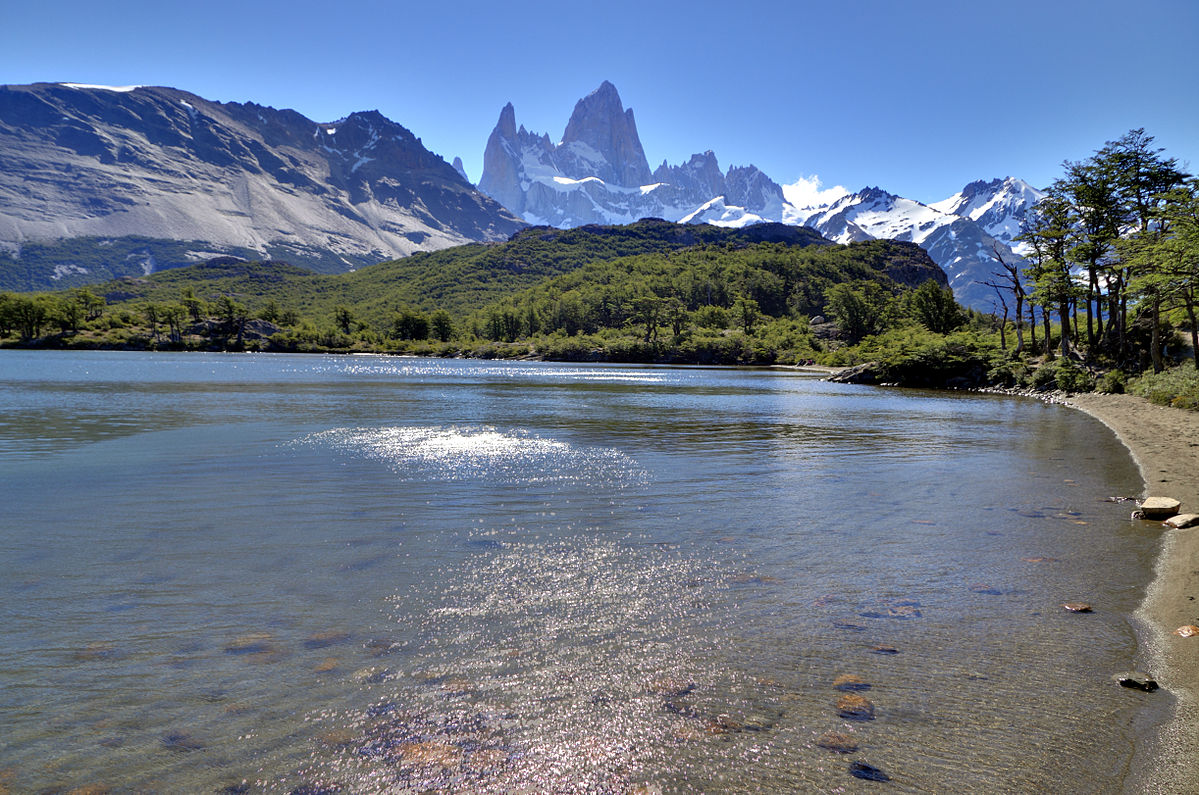
Located in southwest Argentina along the border of Chile, Los Glaciares National Park offers 2,807 square miles of rugged mountains, large lakes and a lot of — you guessed it — ice; the Patagonia ice field occupies nearly half of the park and represents the largest ice mantle outside of Antarctica. It contains 47 glaciers, along with another 200 smaller glaciers not included in the main field. Mount Fitz Roy (pictured here) is in the northern part of the park. Its 11,168 feet of sheer granite makes it one of the most challenging mountains to climb in the world, but hikers can enjoy the less arduous routes around it, not to mention the incredible play of colors that reflect off the face of the mountain each morning with the sunrise.
Los Glaciares, of which 30% is covered by ice, can be divided in two parts, each corresponding with one of the two elongated big lakes partially contained by the park. Lake Argentino, 1,466 km2 (566 sq mi) and the largest in Argentina, is in the south, while Lake Viedma, 1,100 km2 (420 sq mi), is in the north. Both lakes feed the Santa Cruz River that flows down to Puerto Santa Cruz on the Atlantic. Between the two halves is a non-touristic zone without lakes called Zona Centro.
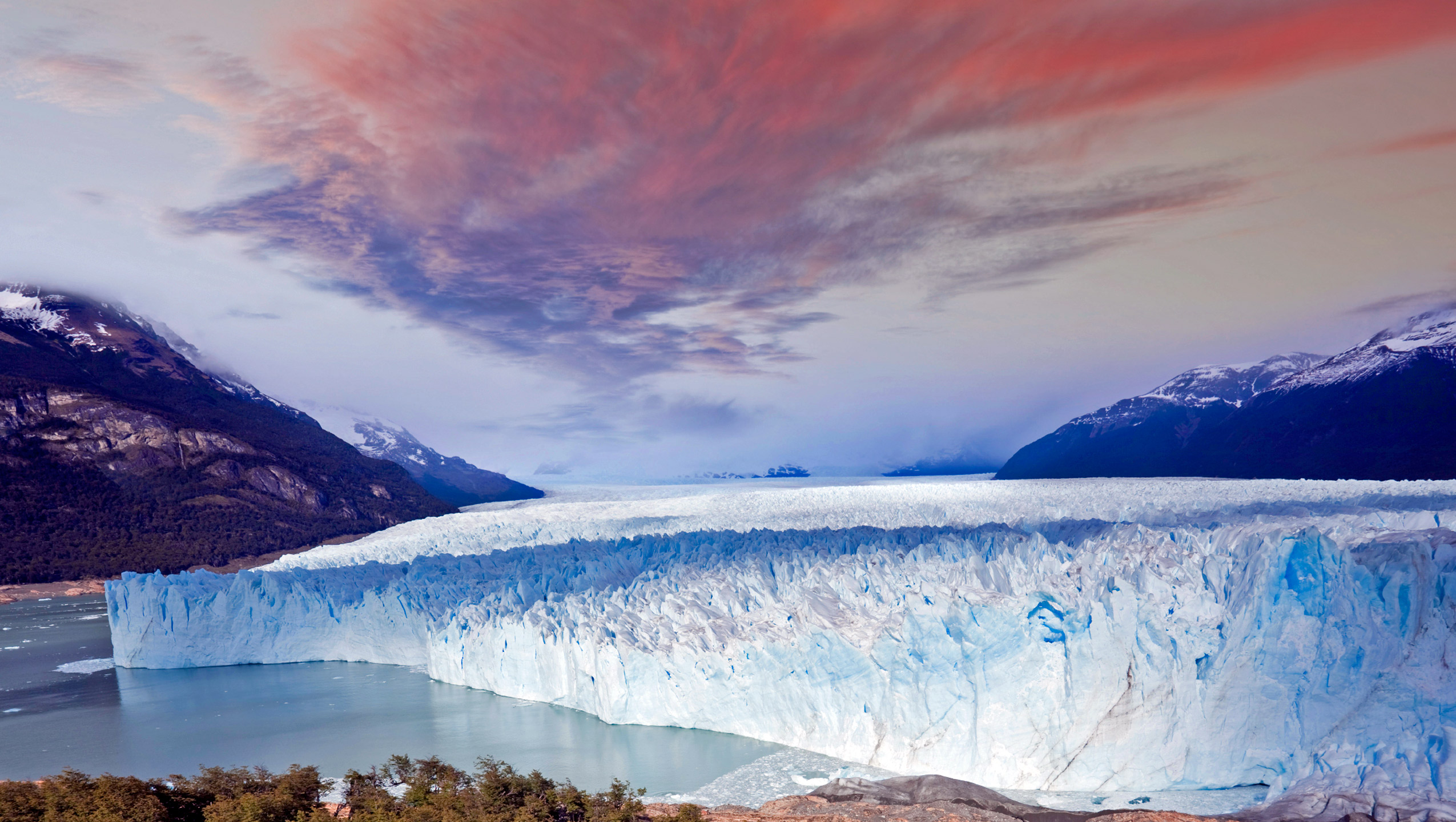
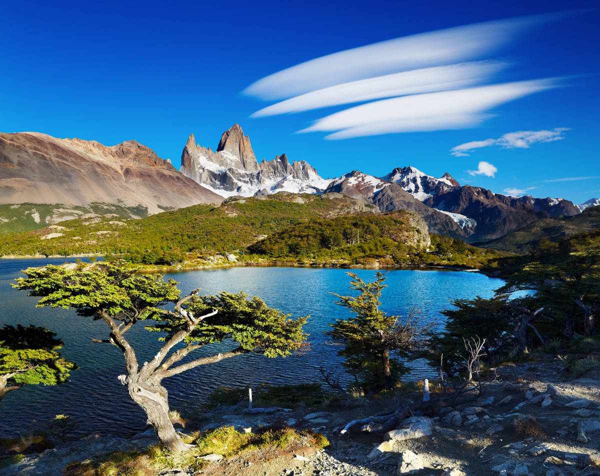
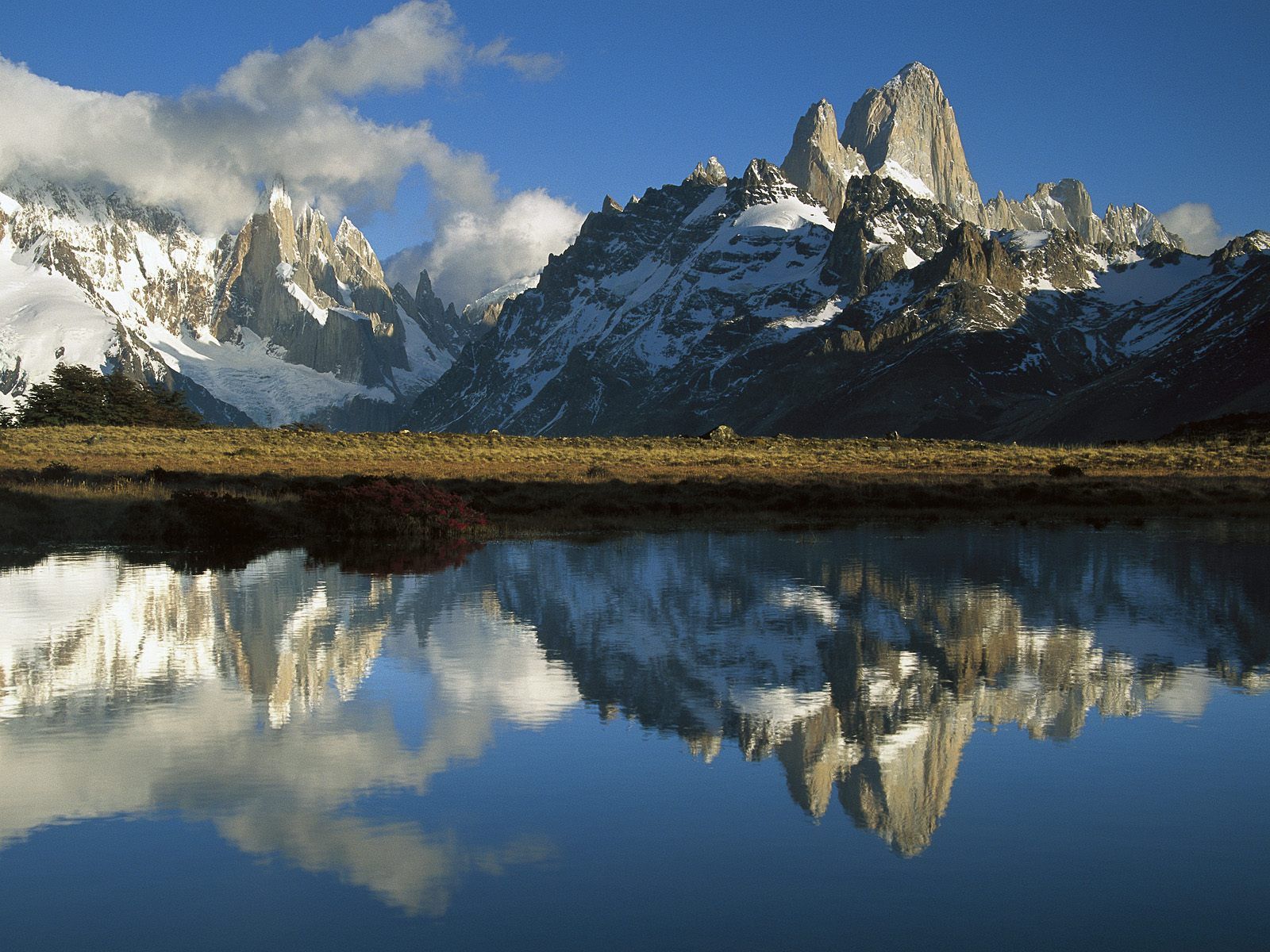
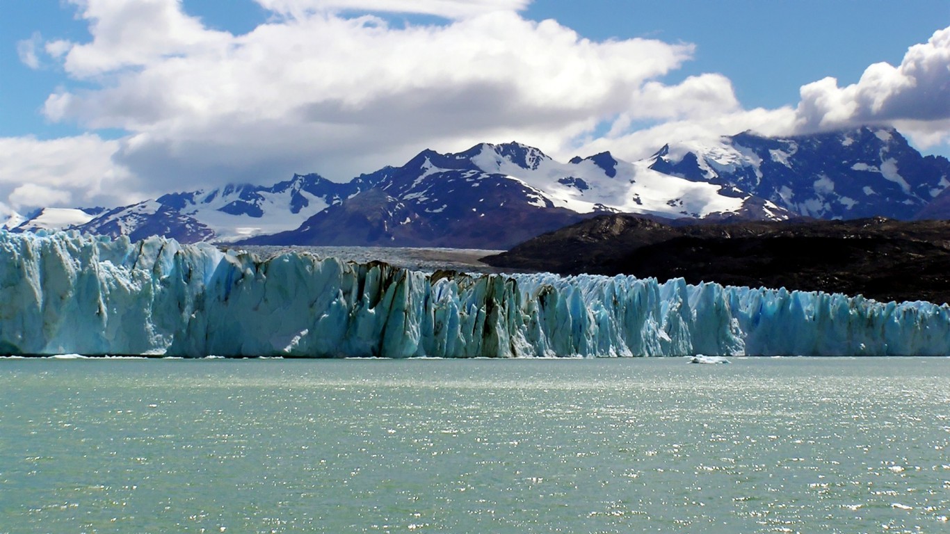
The northern half consists of part of Viedma Lake, the Viedma Glacier and a few minor glaciers, and a number of mountains very popular among fans of climbing and trekking, including Mount Fitz Roy and Cerro Torre. The southern part has, as well as a number of smaller ones, the major glaciers which flow into Lake Argentino: Perito Moreno Glacier, Upsala Glacier, and Spegazzini Glacier. Typical excursion boats travel between icebergs to visit Bahía Onelli, and the otherwise inaccessible Spegazzini and Upsala. The Perito Moreno is reachable by land.