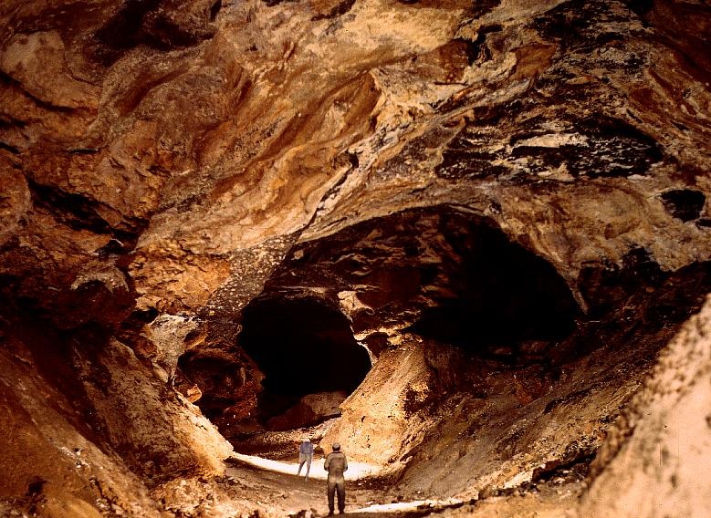
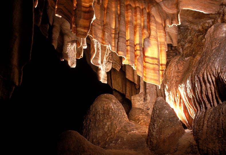
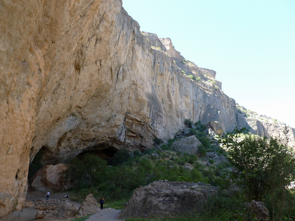
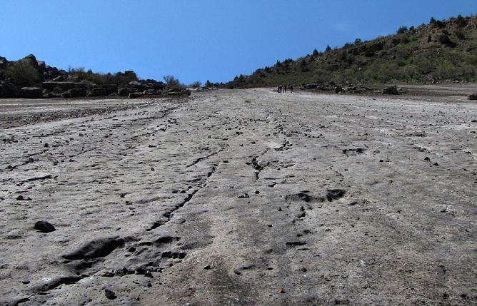
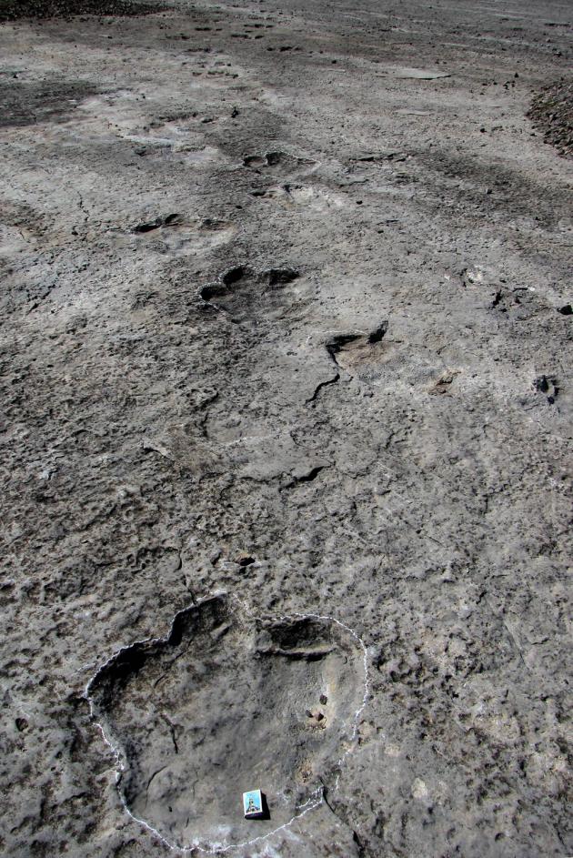
The site is located in the south-westem slopes of the Koytendag mountains (the Kugitang range), at the south-westem extreme of the Gissar range of the Pamir-Alay mountain system. Generally, it lies in the middle and upper mountainous belts at elevations of 900-3139m above sea level, which it reaches at Ayrybaba (the highest peak of Turkmenistan). There are a substantial number of waterbodies: karst lakes and caves (Kattakul, Khurdzhumkul, Garlyk and others), freshwater springs (Bulakly and Koyten) and hydrogen sulphate wells (Khodzhakainar, Khodzhapil and Bazartepe). Some watercourses originate in snowfields, located at altitudes of about 3000 m. The main water source is the Koytendarya river. The climate depends on altitude, changing from arid and hot to temperate and cold with annual precipitation of up to 350mm. The soils are serozyems (grey earth). The flora is composed of 982 species. Juniperus (or archa) forests with Thragacanthus communities are widespread (1700-2800 m), in which Astracanta sp. and steppe grasses are also present. Seasonal grazing and cattle reariing are carried out here, as well as arable farming to a lesser degree. Most of the population (up to 50 000 people) lives in the Koytendarya valley; the main villages are Garlyk, Koyten, Khodzhapil, Gorshun.
Koytendag State Nature Reserve
- Continent: Asia
- Country: Turkmenistan
- Category: Other
- Added by: Ibrohimov Barzu Mahmadiyor o'g'li
- Source: https://ru.wikipedia.org
- Date of adding: 2015-07-27 11:05:48
- 0
- 0
Description
Расположение на карте
Comments


