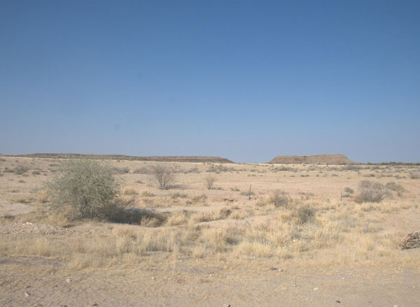
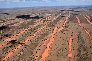
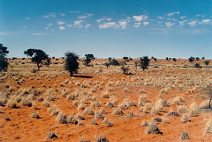
The Kalahari Desert is a large semi-arid sandy savanna in Southern Africa extending for 900,000 square kilometres (350,000 sq mi), covering much of Botswana, parts of Namibia and regions of South Africa.
Kahalari is derived from the Tswana word Kgala, meaning "the great thirst", or Kgalagadi, meaning "a waterless place"; the Kalahari has vast areas covered by red sand without any permanent surface water.
Geography
Drainage of the desert is by dry valleys, seasonally inundated pans and the large salt pans of the Makgadikgadi Pan in Botswana and Etosha Pan in Namibia. The only permanent river, the Okavango, flows into a delta in the northwest, forming marshes that are rich in wildlife. Ancient dry riverbeds—called omuramba—traverse the central northern reaches of the Kalahari and provide standing pools of water during the rainy season.
A semi-desert, with huge tracts of excellent grazing after good rains, the Kalahari supports more animals and plants than a true desert, such as the Namib Desert to the west. There are small amounts of rainfall and the summer temperature is very high. The driest areas usually receive 110–200 millimetres (4.3–7.9 in) of rain per year,[1] and the wettest just a little over 500 millimetres (20 in). The surrounding Kalahari Basin covers over 2,500,000 square kilometres (970,000 sq mi) extending further into Botswana, Namibia and South Africa, and encroaching into parts of Angola, Zambia and Zimbabwe.