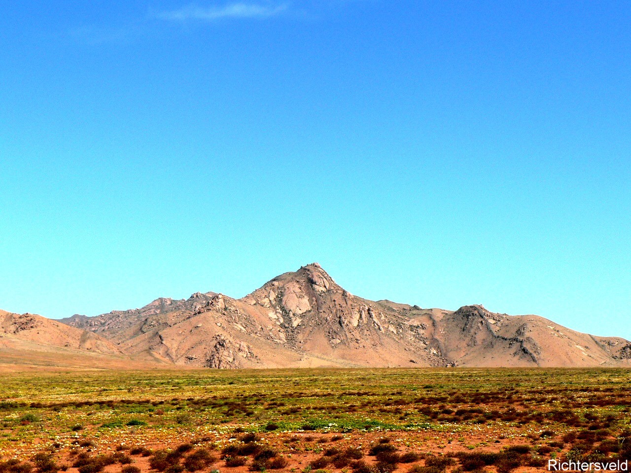
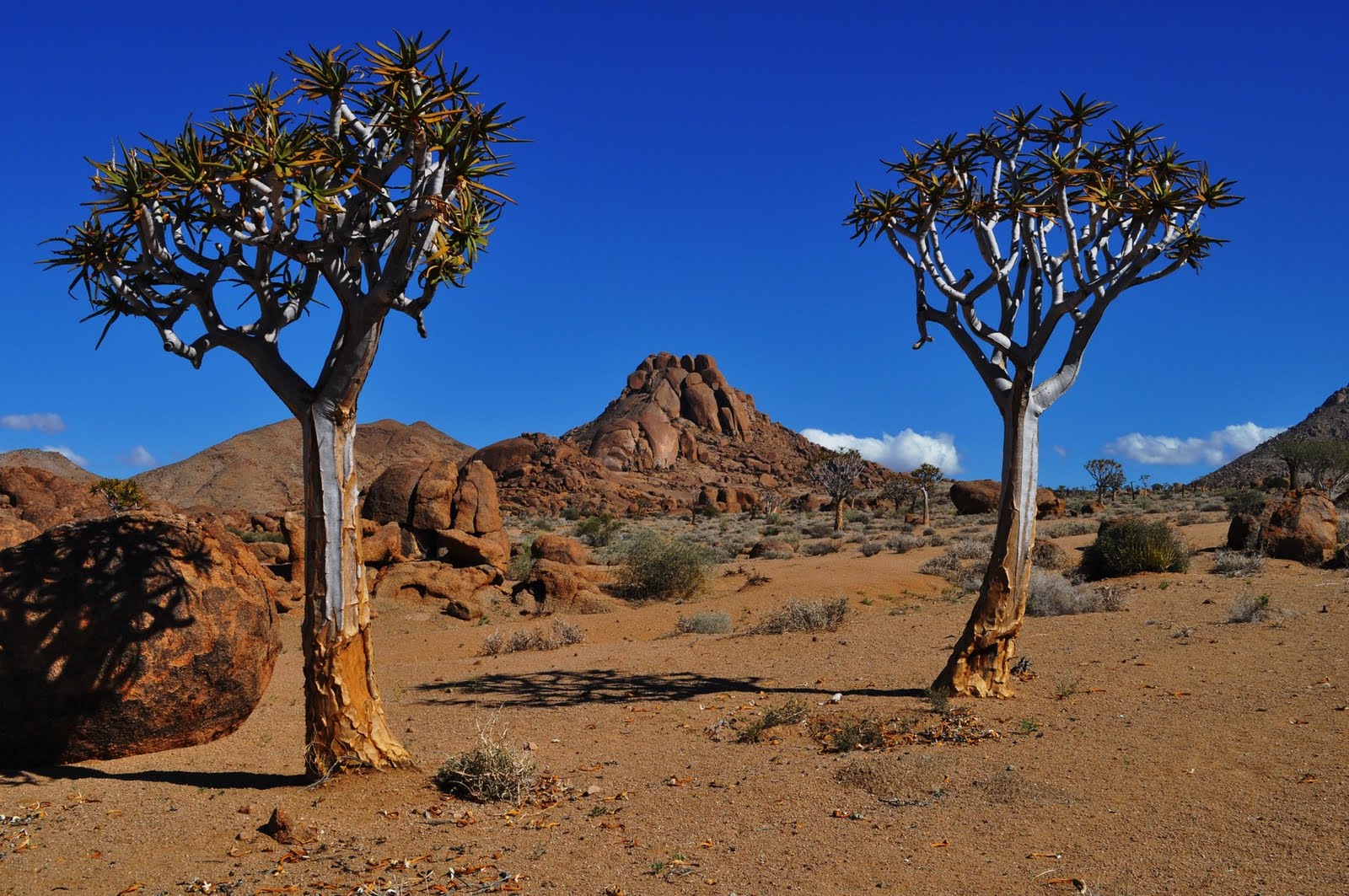
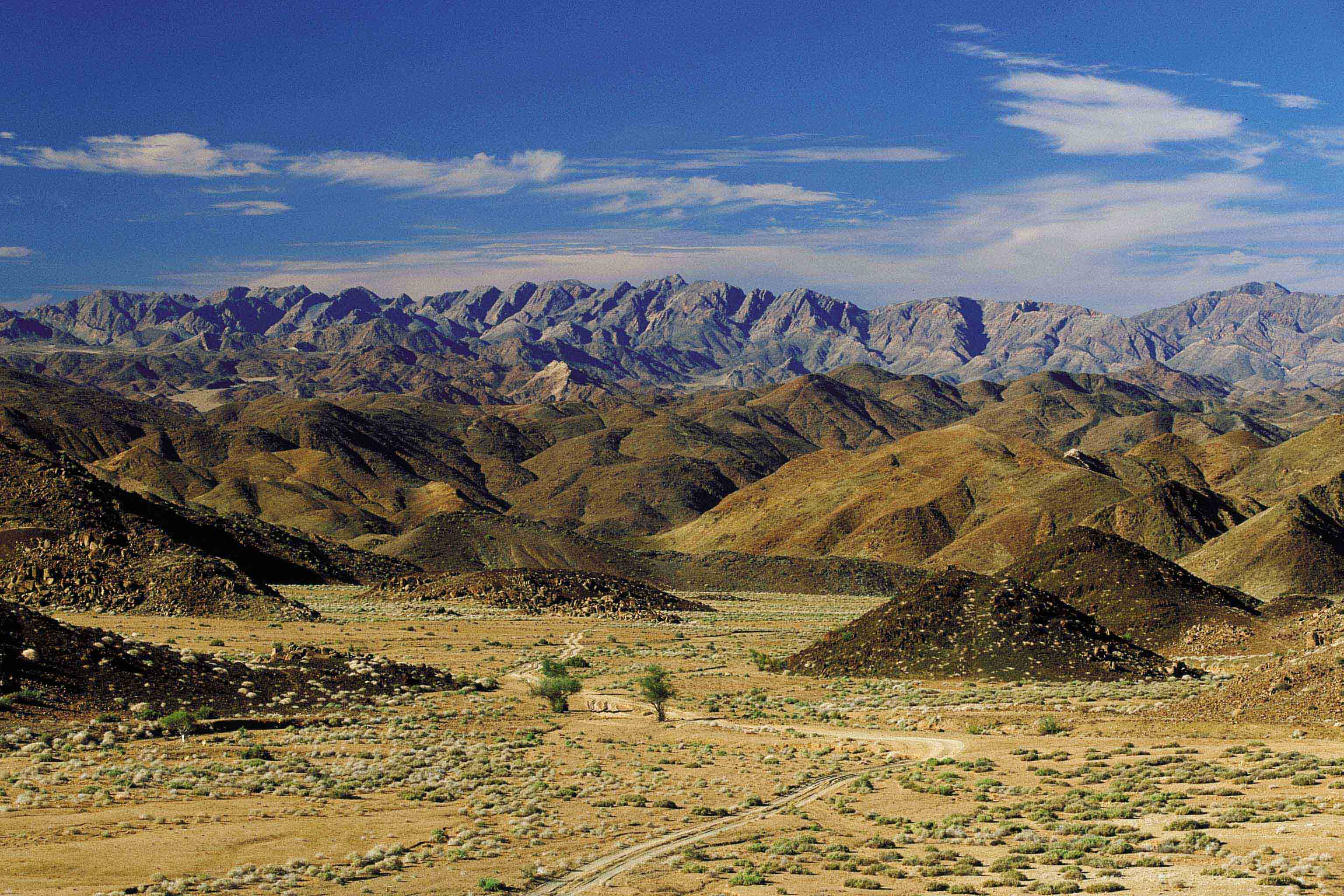
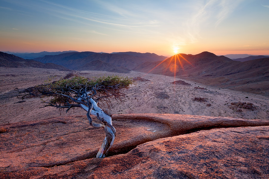
The Richtersveld is a mountainous desert landscape characterised by rugged kloofs and high mountains, situated in the north-western corner of South Africa’s Northern Cape province. It is full of changing scenery from flat, sandy, coastal plains, to craggy sharp mountains of volcanic rock and the lushness of the Orange River, which forms the border with neighbouring Namibia. The area ranges in altitude from sea level, to 1,377 m (4,518 ft) at Cornellberg.
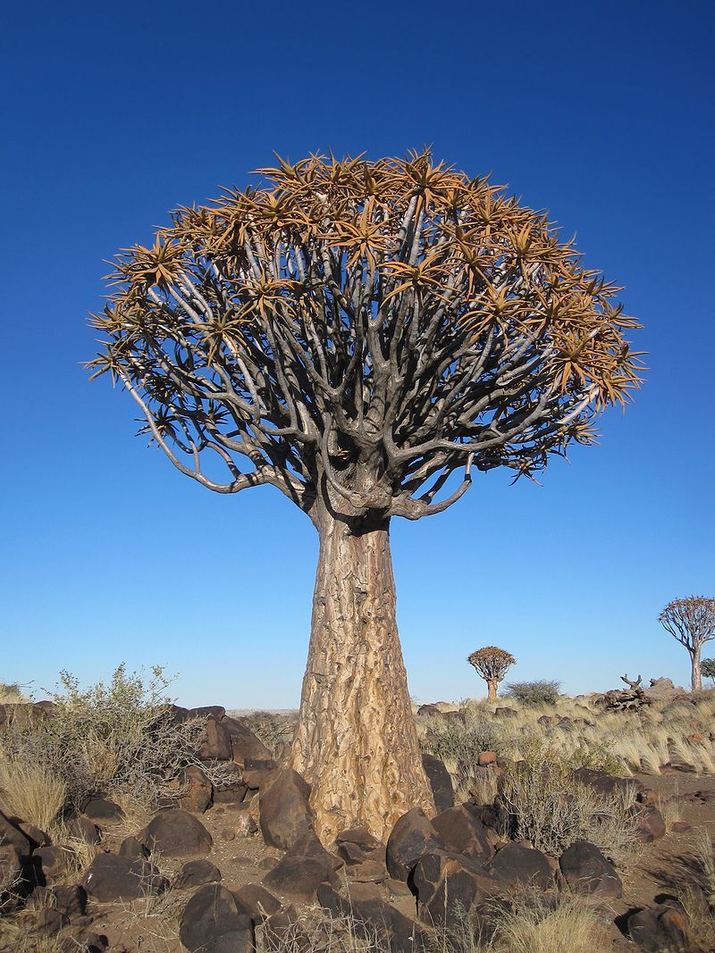
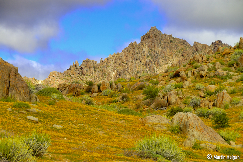
Located in South Africa's northern Namaqualand, this arid area represents a harsh landscape where water is a great scarcity and only the hardiest of lifeforms survive. Despite this, the Richtersveld is regarded as the only Arid Biodiversity Hotspot on Earth, with an astonishing variety of plant, bird and animal life (much of which is endemic).
Part of the area is inscribed on UNESCO's World Heritage List due to its cultural values, but remains a favourite amongst nature travellers to South Africa, the landscape is sometimes described as "martian". Though barren and desolate at first glance, closer examination reveals the area to be rich in desert lifeforms, with an array of unique species specially adapted for survival.
Temperatures are extreme, and in summer can reach over 50 °C (122 °F). Rain is a very rare event.
The northern part of the area was proclaimed as a National Park in 1991 after 18 years of negotiation with the local community, who continue to live and graze their livestock in the area. It has an area of 1,624.45 square kilometres (627.20 sq mi).
In June 2007, the "Richtersveld Cultural and Botanical Landscape", just to the south of the National Park and an area of equivalent size and beauty, was named a UNESCO World Heritage Site. Unlike the National Park, the Richtersveld Community Conservancy [1], which forms the core zone of the World Heritage Site, is not subject to diamond mining and is as a result the more pristine of the two areas.